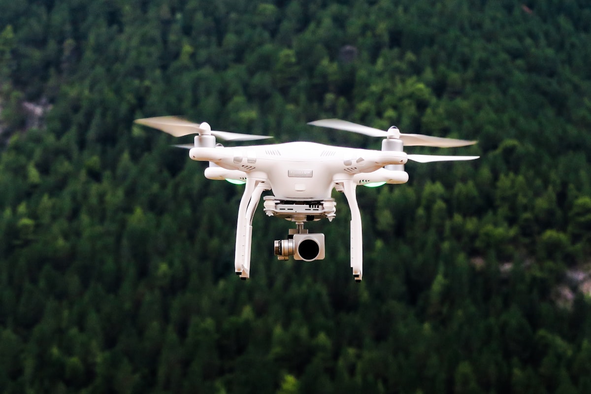
Drones have opened perspectives that were previously available only from helicopters or tall structures. Straight-down views of coastlines, elevated forest canopy shots, and bird’s-eye patterns in agricultural landscapes are now accessible to any photographer with a consumer drone. But aerial photography is a different discipline from ground-level work, with its own compositional rules and technical considerations.
Choosing Your Altitude
Altitude changes the photograph fundamentally:
Low altitude (20-50 feet): Maintains a perspective similar to elevated ground positions — hillsides, rooftops, bridges. The image still reads as a “slightly above” view. Foreground elements retain recognizable three-dimensional form. Useful for establishing shots and compositions that include both ground-level detail and aerial context.
Medium altitude (100-200 feet): The sweet spot for most landscape drone photography. Terrain patterns become visible — river bends, field edges, forest clearings. Individual trees and buildings are identifiable but the overall view is distinctly aerial.
High altitude (300-400 feet): True bird’s-eye perspective. The landscape flattens into a pattern. Individual elements merge into textures. Roads become lines, forests become green patches, water becomes blue shapes. This abstract quality is either compelling or disorienting depending on the scene.
Straight-down vs. angled camera: The most striking drone images often come from pointing the camera straight down (gimbal at -90 degrees). This produces graphic, map-like compositions where the landscape reads as pattern and color. Angled camera positions (20-45 degrees) feel more like traditional landscape photography shot from a high vantage point.
Composition From Above
Patterns and Geometry
Aerial perspective reveals patterns invisible from the ground: the branching pattern of river deltas, the geometric rows of orchards, the spiral of a forest road, the tessellation of salt flats. These patterns become your primary compositional element.
Leading Lines
Rivers, roads, coastlines, fence lines, and shadows all create leading lines from above. Unlike ground-level leading lines that guide the eye into depth, aerial leading lines guide the eye across the frame in two dimensions. Use them to connect areas of interest or create visual flow.
Scale Indicators
Without recognizable objects for scale, aerial images can feel abstract to the point of confusion. Include a car, a house, a person, or a boat to anchor the viewer’s sense of scale. One tiny car on a vast desert road communicates the landscape’s enormity in a way that the empty landscape alone cannot.
Color Blocks
From above, different land uses and surface types become blocks of color — green fields, brown earth, blue water, white sand, gray pavement. Compose these color blocks as you would an abstract painting, balancing hues and values across the frame.
Technical Settings
Shoot RAW. Drone cameras have small sensors that produce less dynamic range than full-frame cameras. RAW files give you the headroom needed to recover highlights and open shadows in post.
Low ISO. Drone sensor noise is more aggressive than larger cameras. Stay at ISO 100-200 whenever possible. The small sensor size means noise becomes visible quickly at higher ISOs.
Shutter speed for sharpness. Even with gimbal stabilization, drone vibration and wind movement affect sharpness. Use at least 1/250s for still images. For landscape work where depth of field isn’t critical (everything is far away), open the aperture to enable faster shutter speeds rather than stopping down for sharpness.
Bracketing. For high-contrast scenes (looking into the sun, bright sky with dark ground), bracket exposures and merge HDR in post. The limited dynamic range of drone sensors makes this more frequently necessary than with ground-level cameras.
Golden Hour Advantage
Drone photography at golden hour is spectacular because you can position the camera to capture the full sweep of warm light across the landscape. From the ground, you see golden light on surfaces facing you. From above, you see it on every surface simultaneously — every treetop, every rooftop, every wave crest glowing.
The low sun angle also creates long shadows that reveal terrain texture invisible in midday light. A flat field that looks featureless at noon shows subtle undulations when long shadows rake across it.
Legal Considerations
Drone photography is regulated in most countries. In the United States under current FAA rules:
- Maximum altitude: 400 feet above ground level
- Must maintain visual line of sight with the drone
- No flying over people not participating in the operation
- No flying in restricted airspace without authorization (most airports have restricted zones)
- Commercial use requires a Part 107 Remote Pilot Certificate
National Parks in the US prohibit drone launches and landings. This effectively bans drone photography in national parks. State parks and other public lands vary by jurisdiction — check local regulations before flying.
Check for Temporary Flight Restrictions (TFRs) before every flight. Apps like B4UFLY show current airspace restrictions.
Limitations and When to Stay Grounded
Drones are tools, not replacements for ground-level photography. Aerial perspectives work best for pattern, scale, and context. They’re poor at capturing the intimate detail, atmospheric depth, and human-scale connection that ground-level photography excels at.
The strongest landscape portfolios include both perspectives. Use aerial shots to show the grand pattern of a landscape, and ground-level shots to show its texture, mood, and detail.